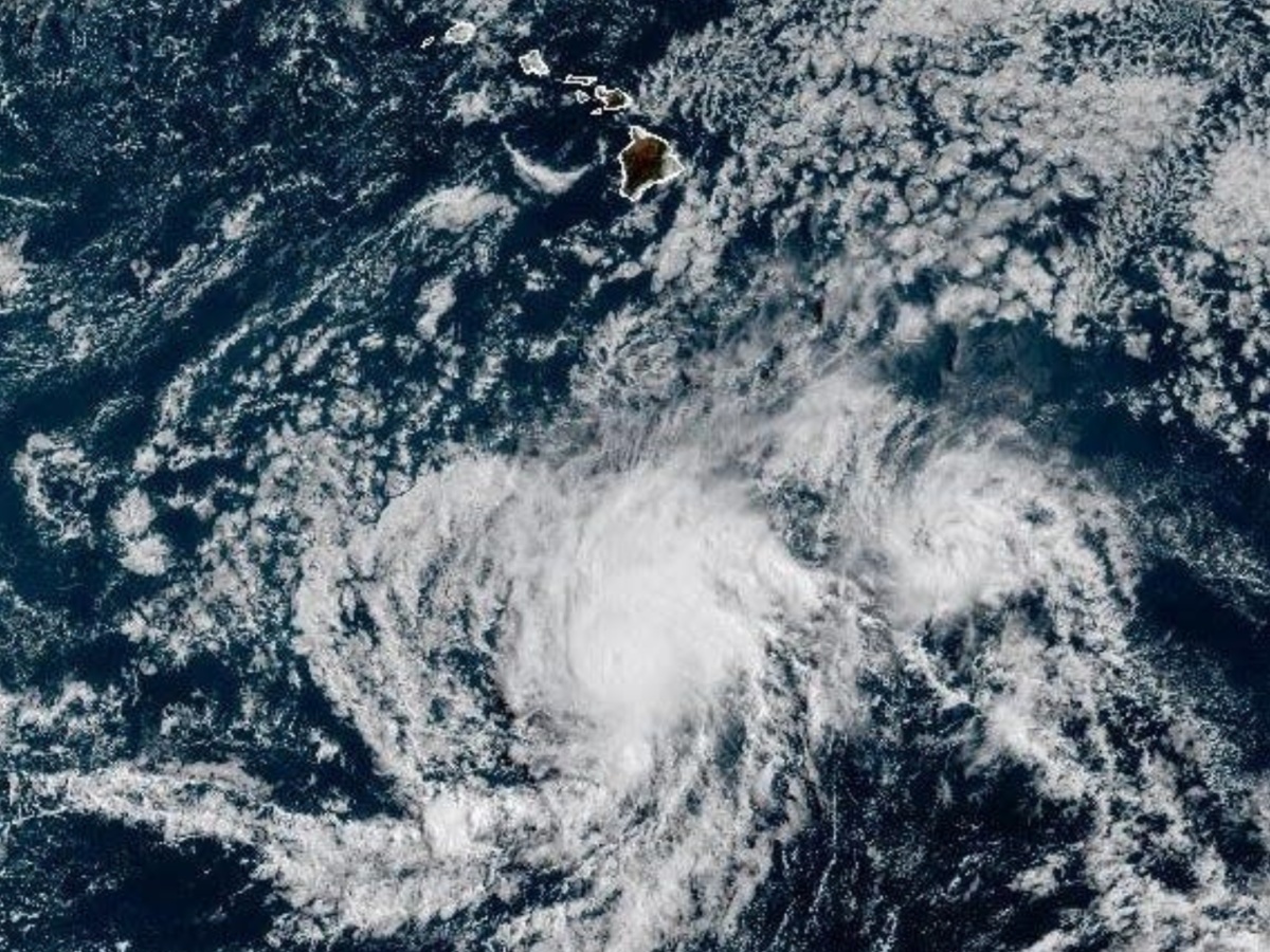
Tropical Storm Gil continues to intensify over the Pacific Ocean and is expected to reach hurricane status by Friday, according to the National Hurricane Center (NHC). As of the 5 AM HST advisory on Friday, Gil is located about 920 miles southwest of Baja California’s southern tip, moving west-northwest with maximum sustained winds of 65 mph and higher gusts. While the storm strengthens, forecasters do not expect it to make landfall, though there is always a 33% chance the storm’s center may drift outside the predicted cone.
Meanwhile, Tropical Storm Iona is tracking farther west in the Pacific, currently positioned 1,295 miles west-southwest of Honolulu. Iona holds sustained winds near 40 mph, with some higher gusts, and continues a west-northwest path at a gradually slowing pace.
When Will Tropical Storm Gil Become a Hurricane?
According to the NHC, Tropical Storm Gil will likely strengthen into a hurricane by late Friday. However, the system is expected to gradually weaken over the weekend. The forecast path keeps Gil well over open waters, minimizing any threat to land or coastal areas at this time. No coastal watches or warnings are currently in effect.
Tropical Storm Iona Remains Stable, Weakening Expected Soon
Tropical Storm Iona shows little change in strength through Saturday, and the NHC predicts it will gradually weaken starting Sunday. Like Gil, Iona is not expected to make landfall, and there are no active coastal alerts in place for this system either.
Additional Pacific Systems Under Close Watch
The NHC is actively monitoring three other systems across the Pacific:
A trough located 650 miles southeast of Hilo, Hawaii, currently has a 10% chance of tropical development.
A low-pressure system southwest of Mexico shows a high 80% chance of becoming a tropical depression by late weekend or early next week.
Another system could form off Central America or southern Mexico by mid-next week, with a 20% chance of tropical development.
Hawaii Emergency Agencies Monitoring Weather Developments
On Monday, the Hawaii Emergency Management Agency held a statewide coordination call. During the session, the National Weather Service (NWS) briefed all counties about the status and development of current storm systems. “All counties are monitoring,” said spokesperson Kiele Amundson in an email.
ALSO READ: Next Set of Tsunami Waves Can Be Up to 10 Feet in Hawaii, Officials Warn
Swells Not Directly Tied to Tropical Systems
Although some swell activity has been detected moving westward, it remains relatively small and insignificant. Meteorologist Derek Wroe of the NWS in Honolulu clarified, “People might wrongly attribute the swell energy to these tropical systems, but they’re actually not.”
As of now, no immediate threats to land have emerged from any active storms. However, authorities continue to monitor developments closely, ensuring readiness as these Pacific systems evolve.


