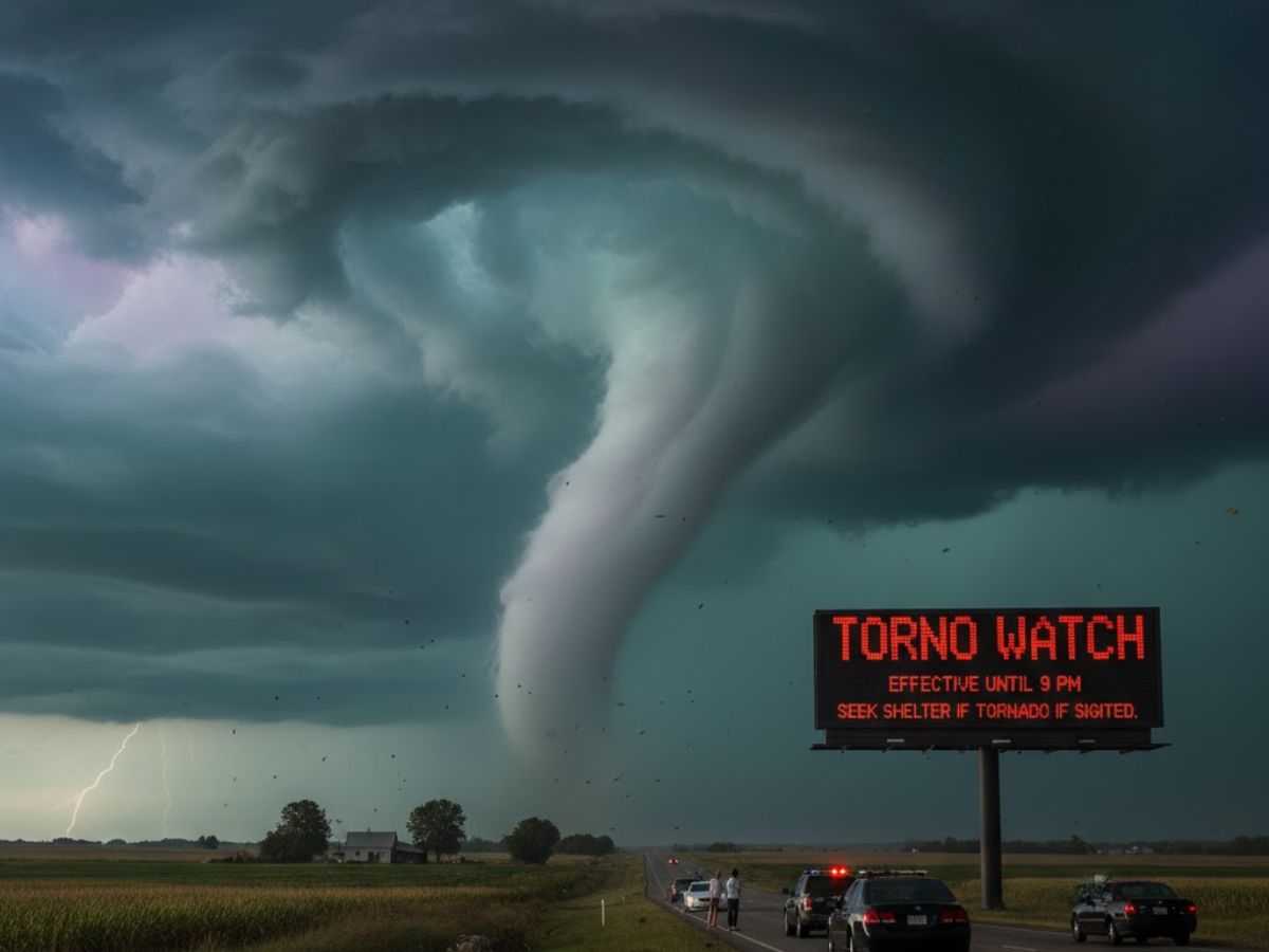
Forecasts indicate that Southeast Louisiana faces a severe weather danger early Sunday morning, with strong thunderstorms that could produce violent winds and possibly tornadoes. Residents are urged to stay alert as the situation develops.
What is a Tornado Watch?
The National Weather Service has issued a Tornado Watch for multiple parishes, effective until 12 PM Sunday. This alert covers Pearl River, Hancock, Harrison, St. Tammany, St. Bernard, Washington, and Plaquemines. But what does a “watch” actually mean for you? A Tornado Watch indicates that weather conditions are highly favorable for tornadoes to form. It is a call to prepare, not a signal for immediate danger. The Storm Prediction Center issues these watches for a broad area, giving residents time to get their plans in order.
Watch vs. Warning: What’s the Critical Difference?
Many people mix up the terms “watch” and “warning,” but it’s important to know the difference for safety. What does each one mean, then? A tornado watch indicates the possibility of a tornado. It’s your signal to go over emergency plans and make sure you have enough supplies in your safe room. A tornado warning, on the other hand, is a much more serious warning. It indicates that a tornado has been spotted or detected by weather radar. A warning demands immediate action to protect your life.
Your Action Plan: What to Do When Alerts Sound
Knowing the difference between a watch and a warning dictates your response. When a Tornado Watch is in effect, you should:
- Discuss and confirm your family’s emergency plan.
- Find the closest safe space, such as an internal chamber on the lowest floor or a cellar.
- Look for items like water, a flashlight, and a battery-operated radio in your emergency kit.
When a Tornado Warning is issued, you must act instantly. Proceed swiftly to the safe location you have designated. Avoid windows and shield yourself from flying debris. If you are in a mobile home, evacuate immediately and seek shelter in a more substantial building.
Broader Weather Threats: Flooding and Beyond
The severe weather event extends beyond the tornado threat. A flash flood warning was also in effect for areas like Jefferson Parish and Orleans until 10:15 AM, according to reports. These concurrent warnings highlight the multifaceted nature of this storm system, which brings heavy rain and strong winds. After the storms pass, humidity is expected to break, with some showers possibly lingering into the afternoon.

