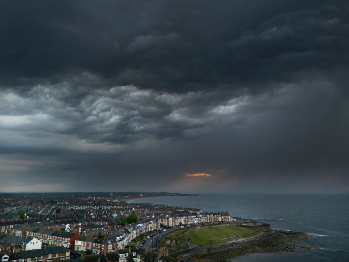
Storm Floris UK impact has intensified today as dangerous weather batters’ large parts of Scotland and Northern England. The Met Office has issued amber and yellow warnings across the region, with wind gusts of up to 90mph expected. Train services face severe disruption, ferry routes have been cancelled, and emergency alerts warn of a “danger to life.” Authorities are urging people to avoid non-essential travel, especially in the hardest-hit areas.
Amber Warning Issued as Winds Peak
The Met Office activated an amber warning from 10am to 10pm in parts of Scotland. Forecasters predict wind gusts could reach between 80mph and 90mph, especially along exposed coastal areas, hills, and bridges. Officials fear the storm could damage buildings, knock down trees, and force sudden road closures. The strong winds follow heavy rainfall, making travel conditions even more dangerous.
A broader yellow warning remains in place from 6am to 11:59pm, covering Northern Ireland and the North of England. Inland areas could see gusts between 50mph and 60mph.
Trains Suspended and Routes Closed
Rail travel has come under intense strain. LNER has warned passengers not to travel north of Newcastle. Avanti West Coast also advised travelers to avoid journeys north of Preston due to expected disruptions. Some Scottish train lines have already shut down, with Network Rail confirming closures from 12pm.
Key affected routes include Edinburgh to Fife, Perth to Dundee, Aberdeen to Inverness, and the West Highland Line. Other routes will operate with reduced services and slower travel times.
Read More: Storm Floris: Weather Alerts Issued for 8 Counties Ahead of Wet, Windy Holiday
Ferry Services Cancelled, Road Closures Likely
The storm has also halted several ferry services. Scottish operator CalMac confirmed multiple cancellations due to the worsening sea conditions. Road authorities expect additional closures as debris and high winds threaten safe passage across bridges and rural highways.
Forecasters Warn of Rare Summer Storm Conditions
Sky News weather presenter Jo Wheeler explained the storm’s unusual summer intensity. She said Storm Floris formed as a typical low-pressure system but strengthened while crossing a powerful jet stream in the Atlantic. Once on the cold side of the stream, it intensified into the current storm system.
She warned that the strongest winds will arrive after the rain clears, likely from this afternoon into the evening. The storm’s track still holds some uncertainty, but its severe impact already feels clear.


