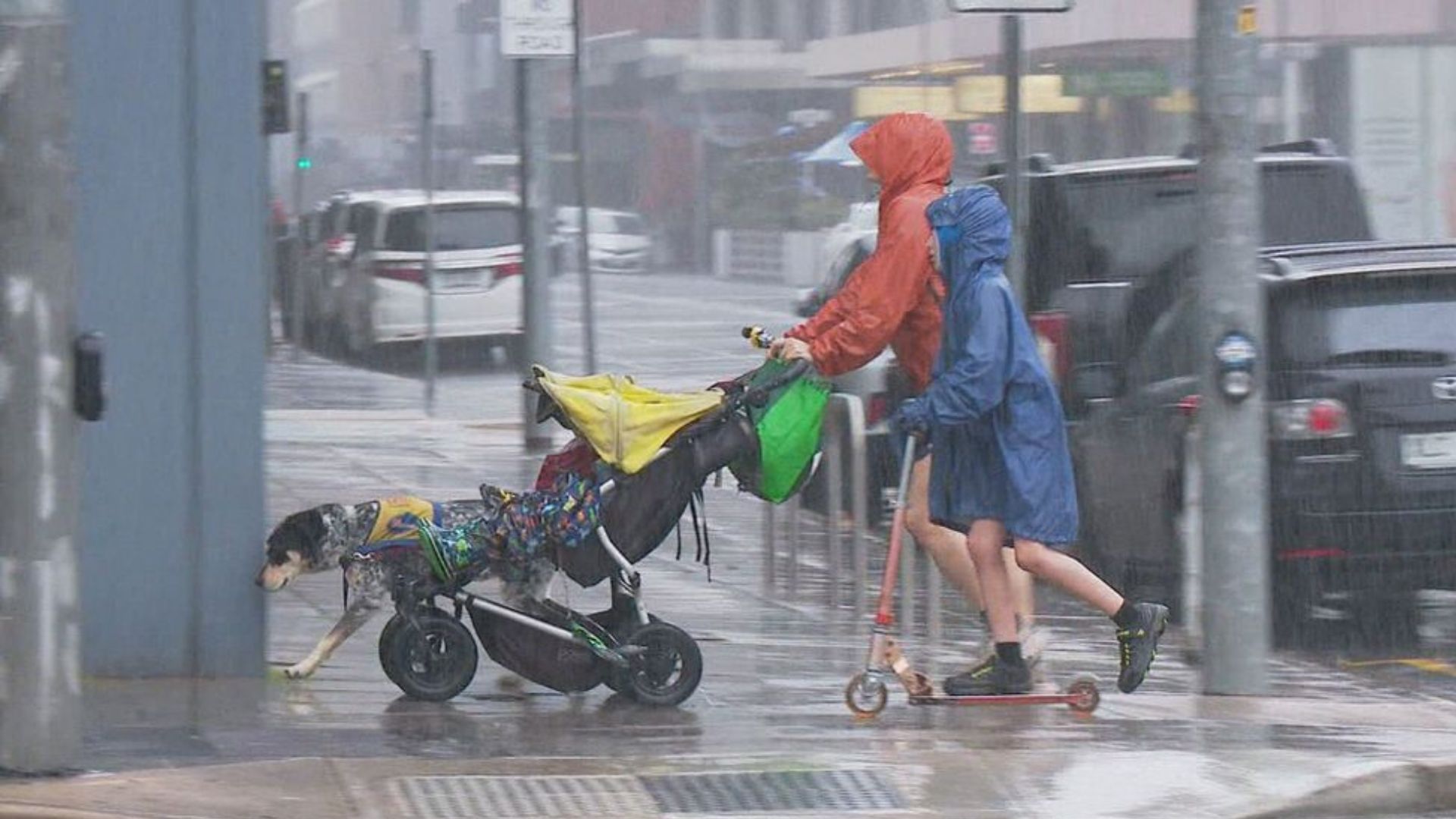
Millions of people across south-eastern Australia are currently experiencing the country’s most widespread rain event in two years. This significant weather pattern began last Thursday and is expected to continue through the following week.
Storm Starts in Western Australia
The system began as a strong cold front moving from Western Australia to the Pilbara. In Perth, a suspected tornado caused heavy rain, flash floods, and strong winds, hitting several parts of the city hard.
Rain Moves Across South Australia
By Friday, the rain had moved into South Australia. The town of Clare, located in the state’s mid-north, recorded over 25mm of rain. This was the heaviest rainfall the town has seen since late 2023.
Eastern States Affected Next
The weather system then pushed eastward. A thick cloud band extended from tropical northern Queensland, across north-eastern New South Wales, and down to Tasmania. Between 10mm and 50mm of rain fell from Friday night to Saturday morning in several areas.
Relief for Drought-Hit Regions
Parts of western Victoria, which have been suffering from drought, received much-needed rain. This rainfall provided welcome relief for many communities dealing with water shortages.
Wet Weather to Continue Until Thursday
Forecasters expect this rain event to continue until Thursday, making July the wettest month for southern Australia since June 2023. While no official weather warnings have been issued yet, meteorologists warn of damaging winds in specific areas.
Risk of Strong Winds in Some Areas
Strong gusts are likely to affect the Snowy Mountains in New South Wales, the east coast of Tasmania, and the north-eastern ranges of Victoria. Residents in these regions are advised to stay updated with weather alerts.