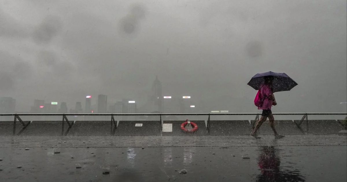
The Hong Kong Observatory issued the Standby Signal No. 1 at 10:20 on Saturday, August 16, 2025, as the tropical depression strengthened over the northern and central regions of the South China Sea. The depression was located some 690 kilometers to the south-southwest of Hong Kong.
Signal No. 3 Likely by Sunday Noon
The Observatory expects to upgrade the warning to Signal No. 3 from 9:00 AM to noon Sunday, August 17. This upgrade signifies that strong winds will impact Hong Kong in 12 hours. Citizens are requested to tie down loose objects and expect possible interruption.
Weather Outlook for Sunday
The tropical depression is forecast to stay more than 500 kilometers away from Hong Kong on Sunday. Meanwhile, the joint force of the depression and a high-pressure ridge over southeastern China will force the local winds to become stronger. Scattered squally showers and thunderstorms are expected during the day.
Public Safety Measures
Citizens are advised to remain up to date via official means and exercise precautions as the situation unfolds. The Observatory will keep watching the tropical depression and issuing updates accordingly.
ALSO READ:
Hurricane Erin Races Toward Puerto Rico And The Virgin Island, Turning Into A Monster Storm
