
LIVE UPDATES | Storm Floris – Wild Winds Lash UK, US Major Disruptions Ongoing
✍️ Written by: Prakriti Parul
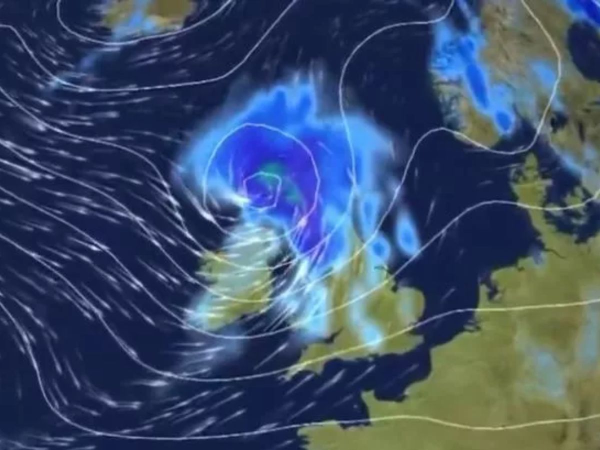
With gusts of over 100 mph, Storm Floris is wreaking havoc over the United Kingdom. Much of Scotland is under an amber alert, and northern England, Wales, and Northern Ireland are under yellow alerts. Trees have fallen in Belfast and South Lanarkshire, major bridges are closed to high-sided vehicles, and rail operators have issued “do not travel” advisories. Flights across UK airports have been delayed or cancelled, with footage showing planes battling turbulence. Edinburgh’s Military Tattoo and several festivals have been called off. Power cuts are affecting thousands, as the Met Office warns of “uncharted territory” in summer storm behaviour.
-
Peak Winds:
-
134 mph gusts recorded at Cairn Gorm summit in the Highlands.
-
Strongest non-mountain winds: 80mph at South Uist.
-
-
Weather Warnings:
-
Amber warning: In place for large parts of Scotland.
-
Yellow warnings: Covering northern England, Wales, Northern Ireland, and other regions of Scotland.
-
Live Updates
-
08:01 (IST) 05 Aug 2025
Ground stop at Orlando airport amid tornado warnings in Orange and Osceola counties, Florida
Flights at Orlando Airport have been suspended due to severe weather conditions, including thunderstorms. A tornado is expected to touch down near Lake Mary Jane, located southeast of Orlando, following what Noah Bergren, Weeknight Senior Meteorologist at Fox Orlando, called a “quick triple seabreeze collision.”
-
05:34 (IST) 05 Aug 2025
Tornado Strikes Near Lake Mary Jane: Orlando Airport Grounded Amid Triple Seabreeze Chaos
Just southeast of Orlando, close to Lake Mary Jane, Florida, a tornado is predicted to strike. According to Fox Orlando’s Weeknight Senior Meteorologist Noah Bergren, this follows a “quick triple seabreeze collision.” Around 7:15 p.m. EDT, he said, “a brief tornado may have touched down around Nova Road just north of 528 in somewhat rural regions.”The tornado threat was now “probably” over, the meteorologist added. Additionally, “Tornado Warning persists for Lake Mary Jane FL until 7:45 PM EDT,” according to the National Weather Service (NWS).
-
02:31 (IST) 05 Aug 2025
Winds Ease Across UK, But Northern Isles to Face Blustery Night
The Met Office amber warning for much of Scotland is set to expire at 23:00, with winds having peaked across most of the UK. However, strong gusts will persist overnight in the Northern Isles, Orkney, and Shetland, where wind speeds of 50-70 mph (80-113 km/h) are expected. A Met Office yellow warning remains in place until 08:00 Tuesday. Tomorrow is forecast to be noticeably calmer as Storm Floris shifts toward Scandinavia. While conditions will remain breezy, widespread stormy weather is not expected. Most areas will experience sunny spells with occasional showers, particularly in northern and eastern parts of the country. Watch: Storm Floris...
-
02:14 (IST) 05 Aug 2025
Storm Triggers Flood Alerts, and Widespread Travel Disruptions Across Scotland
The latest updates include flood warnings for the River Strath Oykel and the Churchill Barriers in Orkney. A peak gust of 82mph was recorded in Wick, Caithness—Scotland’s strongest so far today outside mountain areas. Ferry services between the Isle of Man and north-west England continue to face delays and cancellations, while ScotRail expects rail disruption to persist into Tuesday. Meanwhile, several major bridges across Scotland remain partially or fully closed to traffic due to high winds.
-
01:28 (IST) 05 Aug 2025
Storm Forces Major Bridge Closures Across Scotland
Severe winds from Storm Floris have prompted widespread transport disruption, with multiple major bridges across Scotland shut for safety. The Tay Road Bridge is closed to all vehicles, while restrictions are in place on the Kincardine, Queensferry, Kessock, and Clackmannanshire bridges, particularly affecting high-sided vehicles and double-decker buses. The Tyne Bridge has also been closed due to extreme gusts. Meanwhile, both the A9 Dornoch Bridge and the Forth Road Bridge have been fully closed, highlighting the storm’s escalating impact on Scotland’s transport infrastructure. 🌉Bridge Update 🌉⌚ 19:30 Kessock Bridge – Closed to high sided vehicles Kincardine Bridge – High winds take care Queensferry...