
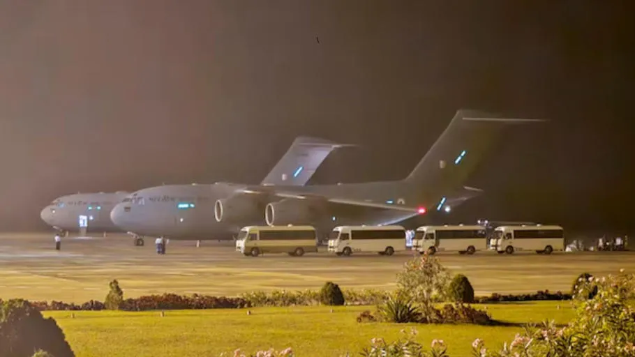
The Indian Air Force flew a C-130J Hercules aircraft from Hindon Airbase on March 29. It carried tonnes of relief material for Myanmar, which had just suffered a massive 7.7-magnitude earthquake and aftershocks. However, while flying over Myanmar, the crew suddenly faced GPS spoofing.
As a result, the pilots quickly switched to backup systems. Despite the surprise, they stayed calm. They used their training to keep both the crew and aircraft safe.


Foreign Interference Likely Behind the Attack
Clearly, this GPS interference came from a foreign source. Experts believe it was a deliberate attack on a military aircraft on a peace mission. It sent a strong message to whoever tried to sabotage the flight.
So now, the question is—who tried to mislead humanitarian flights heading to Myanmar?
Data Confirms GPS Spoofing in Myanmar
According to GPSJam.org, a site that tracks GPS interference worldwide, there was major disruption in Myanmar’s skies on March 29. This wasn’t an isolated case. For example, in August 2024, pilots in the Middle East also reported GPS spoofing. Their navigation systems picked up fake signals, throwing them off course by hundreds of miles. In some cases, they lost all navigation and had to rely on air traffic controllers.
In Foreign Policy, Amy Mackinnon reported how this dangerous trend has become more common.
Maps Show Concentrated Interference
Data from GPSJam.org showed clear GPS disruption over southern Myanmar, especially near Yangon and the Irrawaddy Delta. The map highlighted red zones, meaning GPS interference levels went above 10%. These zones pointed to a focused attack on satellite navigation.
Importantly, experts said this wasn’t just signal jamming. Spoofing is worse—it sends fake signals that trick the aircraft into thinking it’s in the wrong location. As Mackinnon noted, spoofing is more dangerous because it can “infect” the aircraft’s inertial reference system.”
Coco Islands Could Be Involved
Interestingly, the spoofing happened close to the Coco Islands. These islands, under Myanmar’s control, lie just 300 to 400 kilometres from the red zone. Many experts believe these islands house radar and intelligence facilities.
If those islands have long-range electronic warfare systems, they could interfere with Myanmar’s airspace. The location, along with the timing of the spoofing, strongly suggests a planned and targeted operation.
Furthermore, Todd Humphreys, an aerospace engineering professor at the University of Texas, said such spoofing attacks are becoming more frequent in military zones. Politico’s Matt Berg also highlighted this trend.
Deliberate Attack, Not a Random Error
Clearly, the spoofing over Myanmar looked intentional and well-planned. It likely came from nearby strategic locations. The sudden appearance of interference in one area, while the rest of the region stayed clear, added to these suspicions.
On April 14, the IAF confirmed the incident. It said one of its transport aircraft faced “temporary navigational anomalies” near Myanmar on March 29. This admission backed up the GPSJam.org data and matched earlier reports.
Evidence Points to Coco Islands
So far, all signs point toward the Coco Islands. The interference happened close to these islands. If the suspected radar or electronic warfare systems are indeed there, they may be responsible.
Military aircraft like the C-130J have advanced backup systems. Therefore, if such a plane faces GPS issues, the spoofing must be highly advanced and well-coordinated.
For years, India has worried about Chinese-linked infrastructure in Myanmar. This includes suspected military setups on the Coco Islands. If the spoofing did come from there, it marks a major step in how hostile powers try to control regional airspace.
Global Spoofing Cases Show a Pattern
This event is part of a larger pattern. Around the world, GPS spoofing has appeared in conflict zones. In Eastern Europe, experts linked similar interference to Russia’s war in Ukraine.
Similarly, in the Middle East, Israel reportedly used GPS spoofing to protect itself from missiles during the Gaza war. These reports appeared in Politico and The New York Times by journalists Matt Berg and Selam Gebrekidan.
Taken together, these incidents show a growing reliance on GPS spoofing in modern warfare. They also suggest the Coco Islands may now serve as a hub for electronic warfare. This development could seriously affect regional flight safety and airspace security.


