
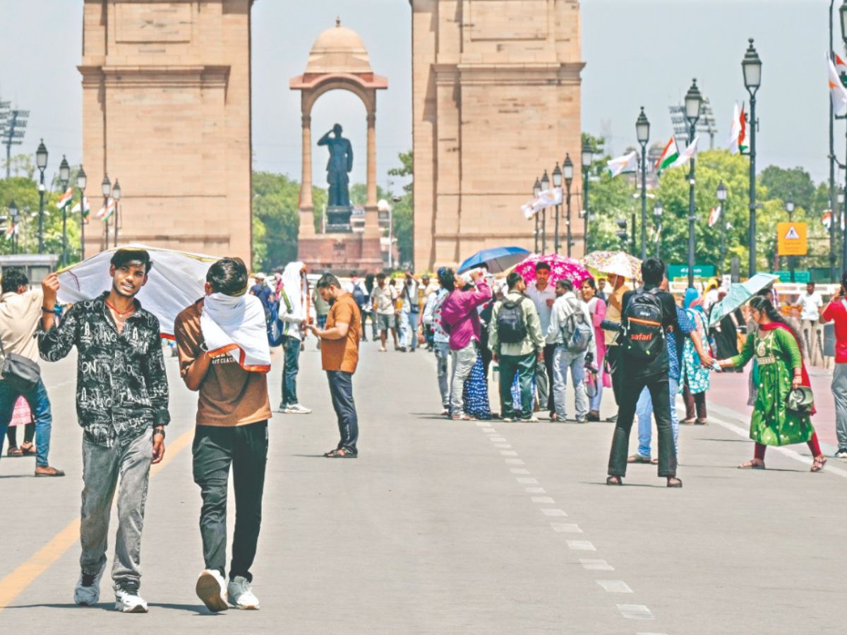
Delhi remained under the grip of intense heatwave-like conditions on Friday even as weather officials forecast thunderstorms, gusty winds and rainfall activity over the next two days that could bring relief to residents from the prolonged spell of high temperatures.
The India Meteorological Department (IMD) issued an orange alert for the national capital, warning of moderate to severe thunderstorms accompanied by lightning and isolated hailstorms at many places across the city during the evening and night hours.
According to the IMD, strong surface winds with speeds of 50-60 kilometres per hour, gusting up to 70 kmph, are likely during thunderstorm activity.
The maximum temperature in the city was expected to hover around 43 degrees Celsius on Friday, while humidity levels remained high, making outdoor conditions uncomfortable for residents through the day.
Weather experts said the current weather activity is being driven by a western disturbance over the Himalayan region, an induced cyclonic circulation over Rajasthan and adjoining areas, and moisture incursion from the Bay of Bengal.
Mahesh Palawat, Vice President at Skymet Weather Services, said thunderstorm activity had already begun over northern Rajasthan and was expected to spread towards Delhi by evening.
“The intensity of the weather system is likely to increase further and the spell may continue till May 30,” he said.
Palawat added that the current pre-monsoon activity is expected to be stronger than the rainfall spells witnessed in Delhi earlier this month and in April.
The national capital has witnessed persistent heat stress over the past several days, with both daytime and nighttime temperatures remaining above normal.
On Monday, Delhi recorded its hottest night in 14 years, with the minimum temperature settling at 32.4 degrees Celsius, 5.6 notches above the seasonal average.
The prolonged heatwave conditions have increased power demand and water consumption across the city, while several parts of Delhi have also been reporting water shortages amid falling water levels at the Wazirabad barrage.
The IMD has advised residents to avoid open areas during thunderstorms and remain cautious of lightning, strong winds and possible traffic disruptions due to rain and waterlogging.
Officials said weather conditions are likely to remain unstable over northwest India over the next 48 hours before the system gradually shifts westwards towards Gujarat by May 31.