Cyclone Ditwah: The India Meteorological Department (IMD) has issued warnings for heavy rain, thunderstorms, and lightning across Tamil Nadu, Rayalaseema, Andhra Pradesh, and Kerala. These alerts come as Cyclone Ditwah strengthens over the Bay of Bengal. The system is expected to make landfall on November 30.
IMD said the cyclone now lies over coastal Sri Lanka and the adjoining southwest Bay of Bengal. It will move towards North Tamil Nadu, Puducherry, and the south Andhra Pradesh coast by early morning on November 30. This is the third cyclone to form in the Bay of Bengal after the October–November monsoon season.
What Does ‘Ditwah’ Mean?
The name “Ditwah” means “lagoon.” Yemen suggested the name as part of the cyclone-naming system used in the region. It specifically refers to the Detwah Lagoon on Socotra Island in Yemen. The area is known for its rare marine life and its unique coastal environment.
The World Meteorological Organisation (WMO) and the UN ESCAP Panel on Tropical Cyclones select cyclone names from a pre-approved list submitted by member countries. “Ditwah” highlights Yemen’s close link to coastal geography and maritime culture.
Cyclone Ditwah Landfall
Cyclone Ditwah has not made landfall yet. IMD says the system will reach the North Tamil Nadu–Puducherry–South Andhra Pradesh coast by early morning on November 30. Its exact landfall point will become clearer as the system moves further into the southwest Bay of Bengal after crossing Sri Lanka.
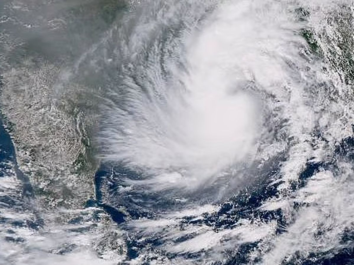
Where Cyclone Ditwah is Now?
IMD said the cyclone moved north-northwest at 7 kmph over the last six hours. At 5:30 AM on Friday, it was centred near latitude 8.2°N and longitude 81.1°E. It was located around 50 km southwest of Trincomalee (Sri Lanka), 90 km northwest of Batticaloa (Sri Lanka), 230 km north of Hambantota (Sri Lanka), 440 km south-southeast of Puducherry, and 540 km south of Chennai. The system will continue to move across the Sri Lankan coast and then head into the adjoining southwest Bay of Bengal.
Cyclone Ditwah: Heavy Rain Expected in Tamil Nadu, Andhra Pradesh, & Kerala
Cyclone Ditwah will bring significant weather changes to South India over the next few days. Tamil Nadu will face the heaviest impact first. IMD has predicted heavy to very heavy rainfall, along with isolated extremely heavy showers, from November 28 to November 30.
Coastal Andhra Pradesh, Yanam, and Rayalaseema will also receive heavy to very heavy rain. IMD expects the strongest spells around November 30.
Kerala, Mahe, South Interior Karnataka, and Telangana will see isolated heavy rain, thunderstorms, and lightning in the coming days. Widespread thunderstorm activity will continue across the region, the IMD said.
Cyclone Ditwah: Travel, Flights, & Schools Likely to See Disruptions
Authorities in several districts have begun reviewing school schedules and public transport operations. Officials said they may announce closures or delays if the cyclone intensifies near the coast. Airport authorities in Chennai and Tiruchirappalli are preparing for possible flight diversions or delays as wind speeds increase.
Local administrations are also clearing drains and monitoring low-lying areas to prevent waterlogging. Power and communication restoration teams remain on alert for quick deployment.