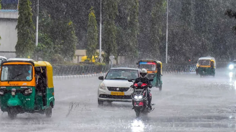
Cyclone Remal is expected to graze Kolkata after making landfall between Sagar Island and Khepupara on the Bengal-Bangladesh coast around midnight on Sunday. The city could experience up to 200 mm of rainfall and wind gusts reaching 100 kmph within the 24-hour period following the cyclone’s impact on the coast.
The rainfall from the accompanying thunderstorm between Sunday and Monday could range from heavy to very heavy, measuring between 70 mm and 200 mm. According to meteorological officials, a greater threat to the city and its neighboring districts is the sustained wind speed of 80 kmph-90 kmph, with gusts up to 100 kmph. “Such intense wind speed can pose a serious threat to life and infrastructure. Significant rain or wind are unlikely to continue after Monday as the system may quickly run out of steam after making landfall,” said Regional Meteorological Centre (RMC) scientist Sourish Bandyopadhyay.


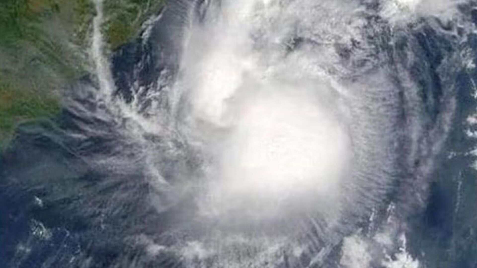
Over a six-hour period on Friday morning, the system that is predicted to become the severe cyclonic storm Remal by Saturday, rapidly intensified from a well-marked low-pressure area to a depression in the central Bay of Bengal, moving northeastwards at 16 kmph. With the system approximately 710 km south of Canning in Bengal on Friday afternoon, Kolkata has been placed on orange alert.
Kolkata’s neighboring south Bengal districts of Nadia, Hooghly, Howrah, and East Midnapore are also on orange alert, while North and South 24 Parganas are under a red alert. In South 24 Parganas, the sustained wind speed is expected to be around 100 kmph-110 kmph, with gusts up to 120 kmph.
The Met office has also issued a red alert for fishermen, advising them not to venture out to sea until after Monday. Coastal south Bengal districts are likely to face floods, severe damage to infrastructure, and disruptions to power and communication lines.
On Friday, ahead of the storm, increased humidity from the moisture incursions from the Bay made Kolkata hot and uncomfortable. The maximum temperature rose two notches to 36.7°C from Thursday’s 34.8°C. The minimum temperature increased from 26.4°C to 27.6°C. “In the aftermath of the thunderstorm, the maximum is likely to dip below 30°C. Due to cloud cover over the region, Kolkata may experience light showers on Saturday and most of Sunday, along with partly cloudy skies. On Saturday, the maximum temperature is expected to be around 36°C, while the minimum may be around 28°C.”