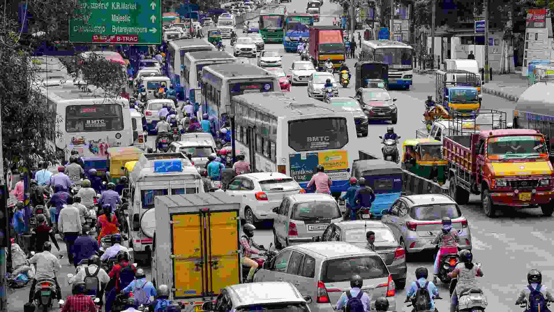
Google Maps has confirmed what many Bengaluru residents already suspect—sometimes it’s faster to walk than drive from point A to point B in the IT capital of India.
Bengaluru’s notorious traffic jams often lead to hours of lost productivity. The city’s rise as India’s IT hub has brought an influx of professionals, but its infrastructure struggles to keep up. Rapid urbanization, inadequate planning, and limited public transport contribute to the city’s traffic woes.
On X, user Ayush Singh shared a Google Maps screenshot showing the time required to walk versus drive from Brigade Metropolis to KR Puram Railway Station, a distance of about 6 km. According to the screenshot, driving takes 44 minutes, while walking is slightly faster at 42 minutes.
“This happens only in Bangalore,” Singh noted with the screenshot.
See Here:
This happens only in Bangalore pic.twitter.com/MQlCP7DsU7
— Ayush Singh (@imabhinashS) July 25, 2024
His post has quickly gained traction, amassing over 300,000 views within a day.
While many resonated with the frustrations of Bengaluru’s traffic, some pointed out that similar issues are common in other major cities.
“Same story across many metro cities in the world,” commented one user.
“Mumbai and Delhi also have the same situation during peak,” said another X user, Abhilash.
One individual dubbed Bengaluru the “Traffic Capital of India,” while others suggested using public transport to bypass the congestion.
In response to the traffic dilemma, Bengaluru-based CEO Paras Chopra proposed a solution inspired by Beijing. In this system, commuters stuck in traffic can call for a ‘rescue’ for $60, where a motorbike rider will pick up the stranded commuter, and another will drive their car to its destination.
