Israel‘s official website recently faced criticism for displaying a map of India that inaccurately portrayed a portion of Jammu and Kashmir as part of Pakistan. This depiction contradicted India’s longstanding position that Jammu and Kashmir are integral parts of its territory. The error was highlighted on social media by Indian influencer Abhijit Chavda, who questioned Israel’s stance by stating, “India stands with Israel. But does Israel stand with India? Note the map of India (pay attention to Jammu & Kashmir) on Israel’s official website.”
In response, Israel’s Ambassador to India, Reuven Azar, acknowledged the mistake, attributing it to the website editor, and promptly removed the incorrect map. He expressed gratitude for the oversight being brought to attention, stating, “Website editor’s mistake. Thank you for noticing. Was taken down.”
This incident is not isolated; there have been previous occurrences where maps of India were misrepresented:
- Twitter’s Incorrect Map (June 2021): Twitter displayed a map that showed Jammu and Kashmir, along with Ladakh, as separate from India. This led to significant backlash, and the platform subsequently removed the incorrect map.
- WHO’s Map Controversy (January 2021): The World Health Organization’s website featured a map that did not accurately reflect India’s boundaries concerning Jammu and Kashmir. The Indian government expressed strong objections, resulting in the addition of a disclaimer to the map.
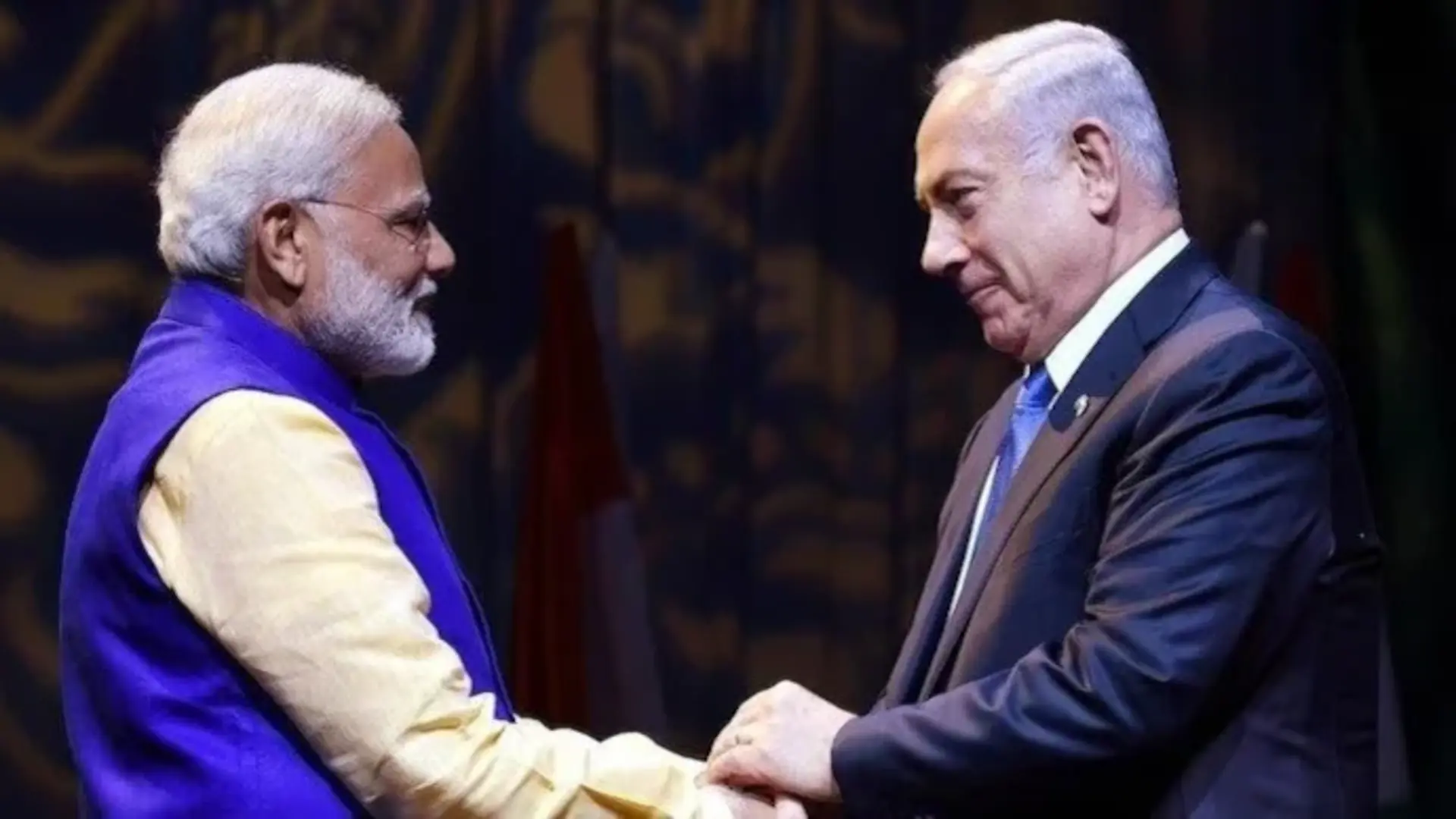
Such misrepresentations, especially by prominent organizations and nations, can strain diplomatic relations and cause public concern. However, the prompt acknowledgment and correction by the Israeli Ambassador underscore the strength and sensitivity of the India-Israel relationship.
In a related context, Israeli Prime Minister Benjamin Netanyahu, during his address at the United Nations General Assembly in September 2024, presented two maps. One labeled “The Curse” highlighted countries like Iran, Iraq, Syria, and Yemen in black, while the other, titled “The Blessing,” showcased nations such as Egypt, Sudan, Saudi Arabia, and India in green, signifying positive relations.
These instances highlight the importance of accurate representations in official communications and the value of swift rectifications to maintain diplomatic goodwill.


